Map World Coloring Pages Ready to Download and Print for Educational and Creative Fun
This map world coloring page presents a combined view of Europe and Africa, with distinct country outlines for each region. Use a range of cool tones for Europe and warmer shades for Africa to emphasize the cultural and geographical diversity. Highlight landmarks such as the Alps in Europe or the Serengeti in Africa for added realism.
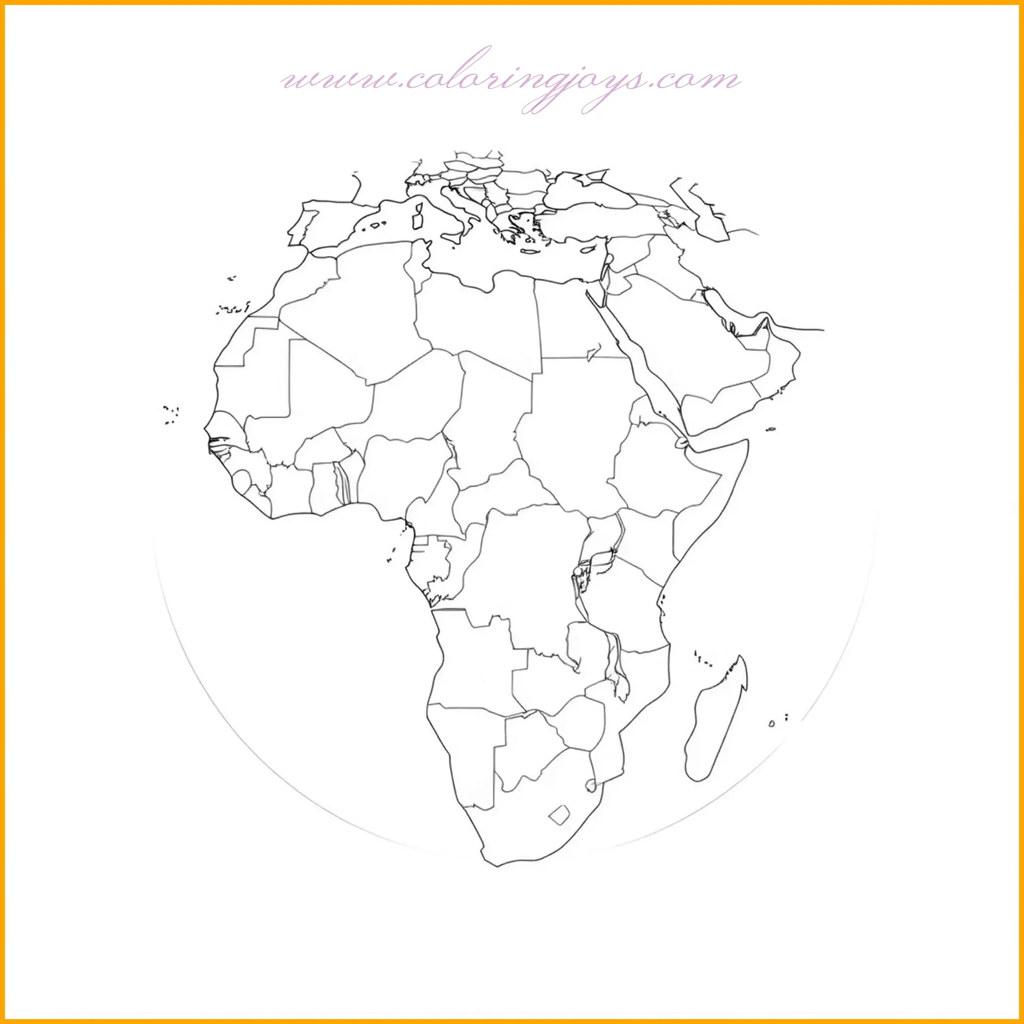
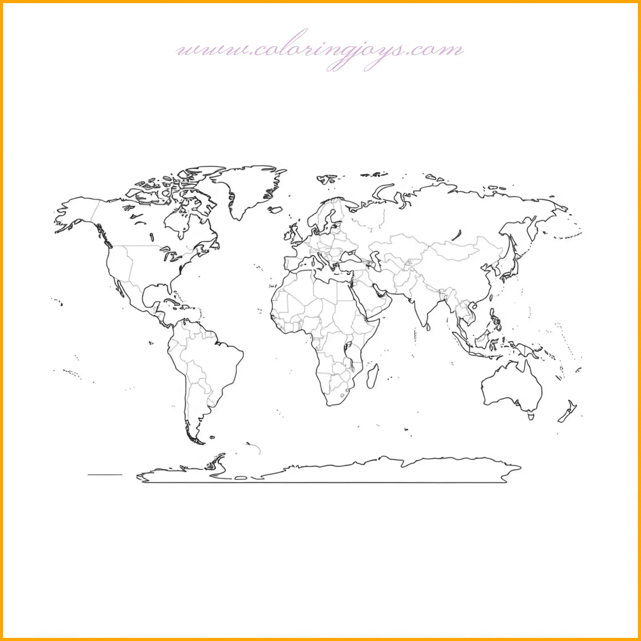
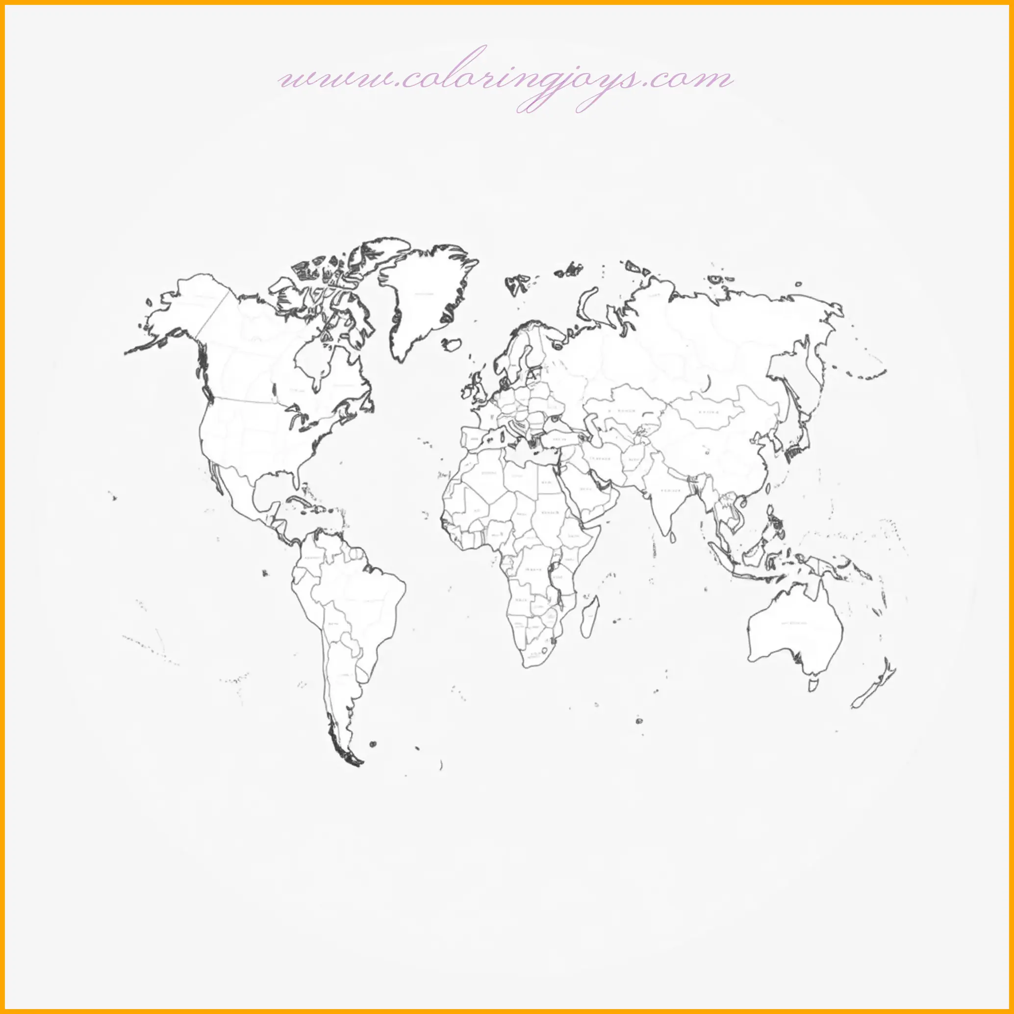
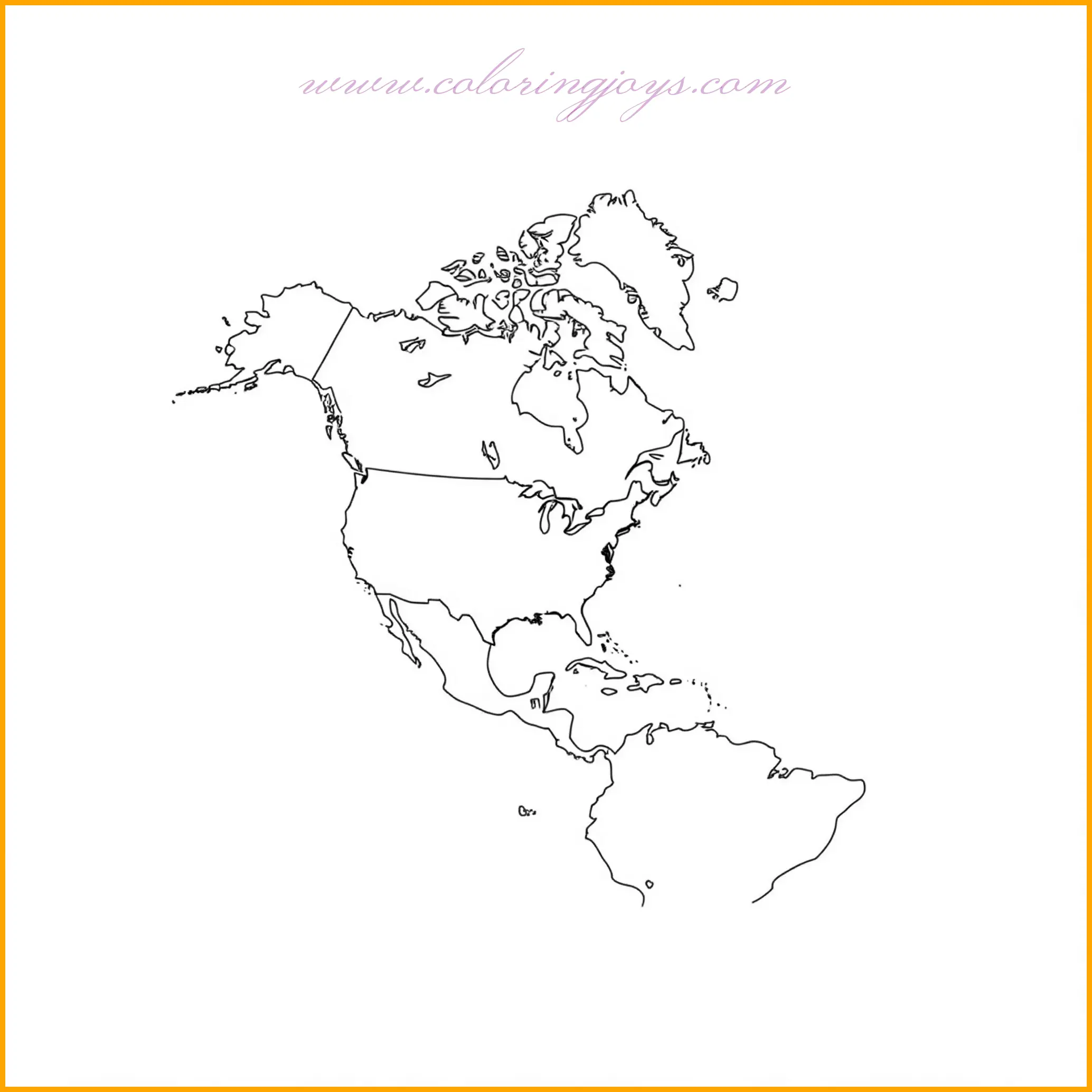
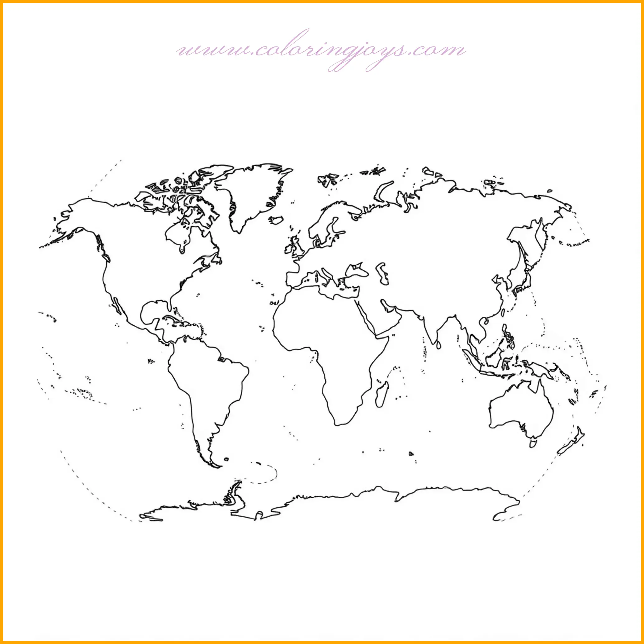
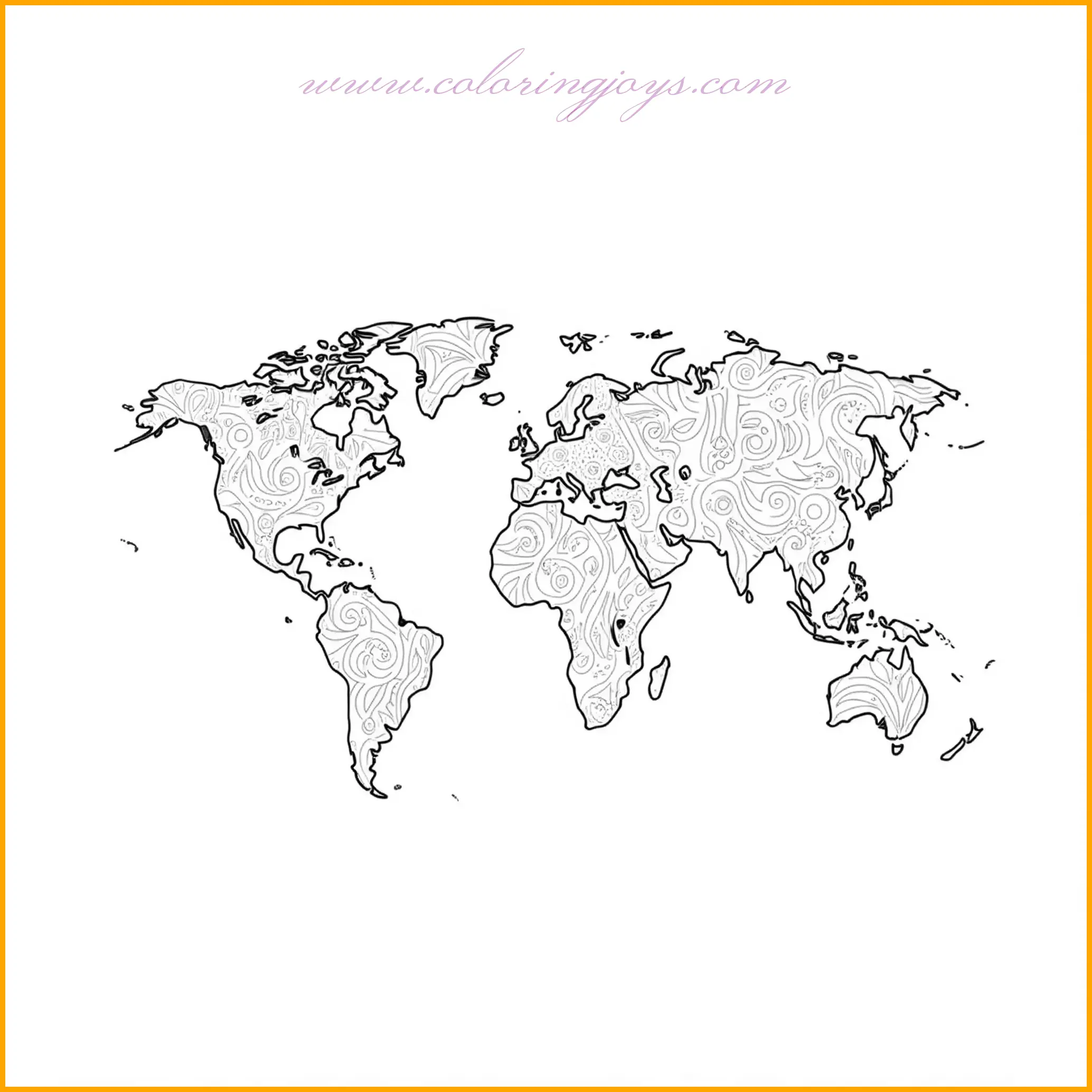
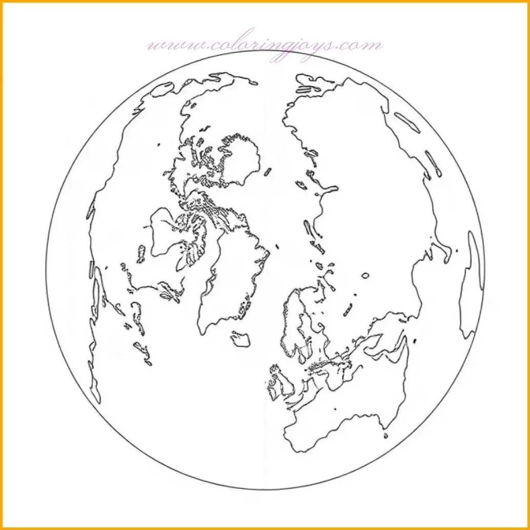
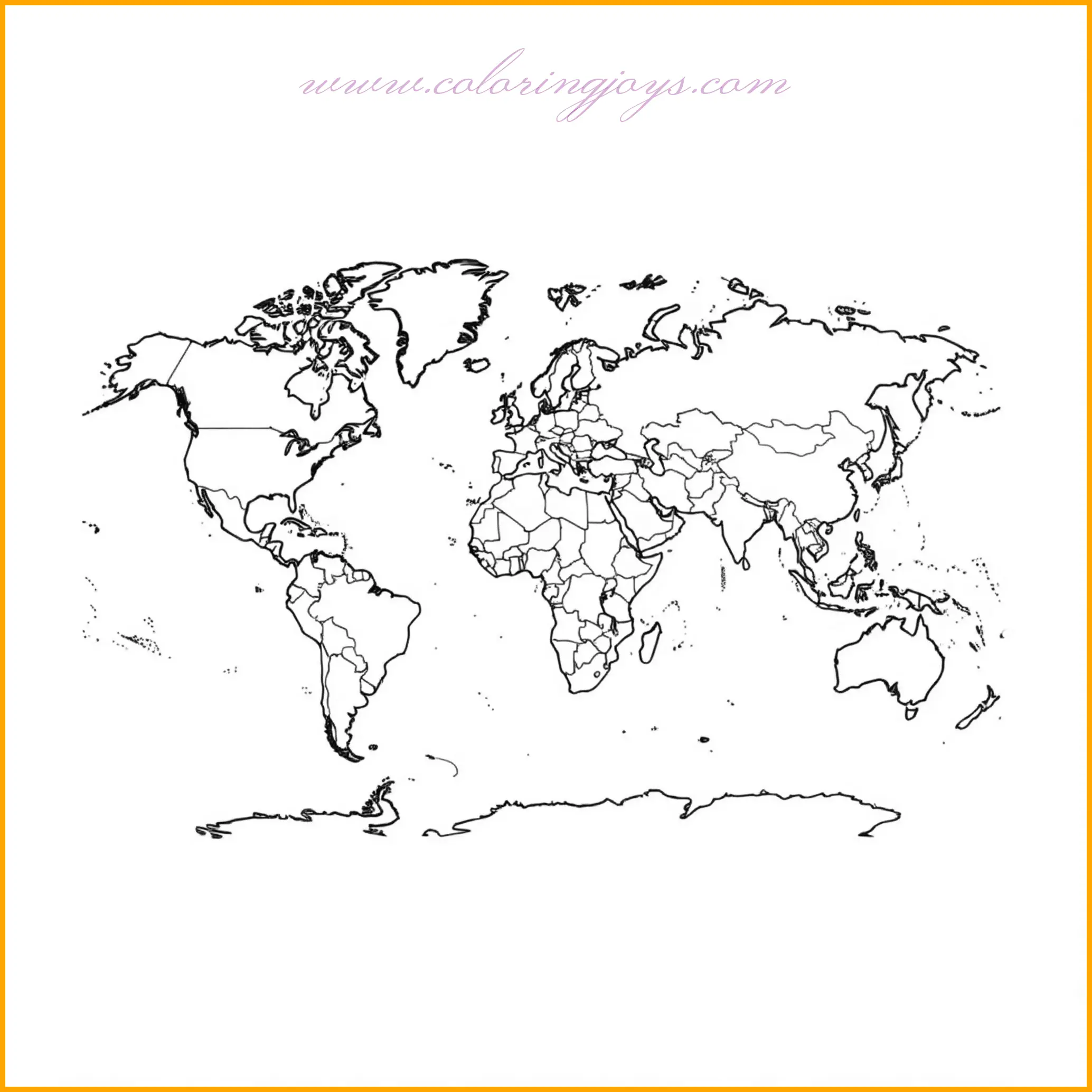
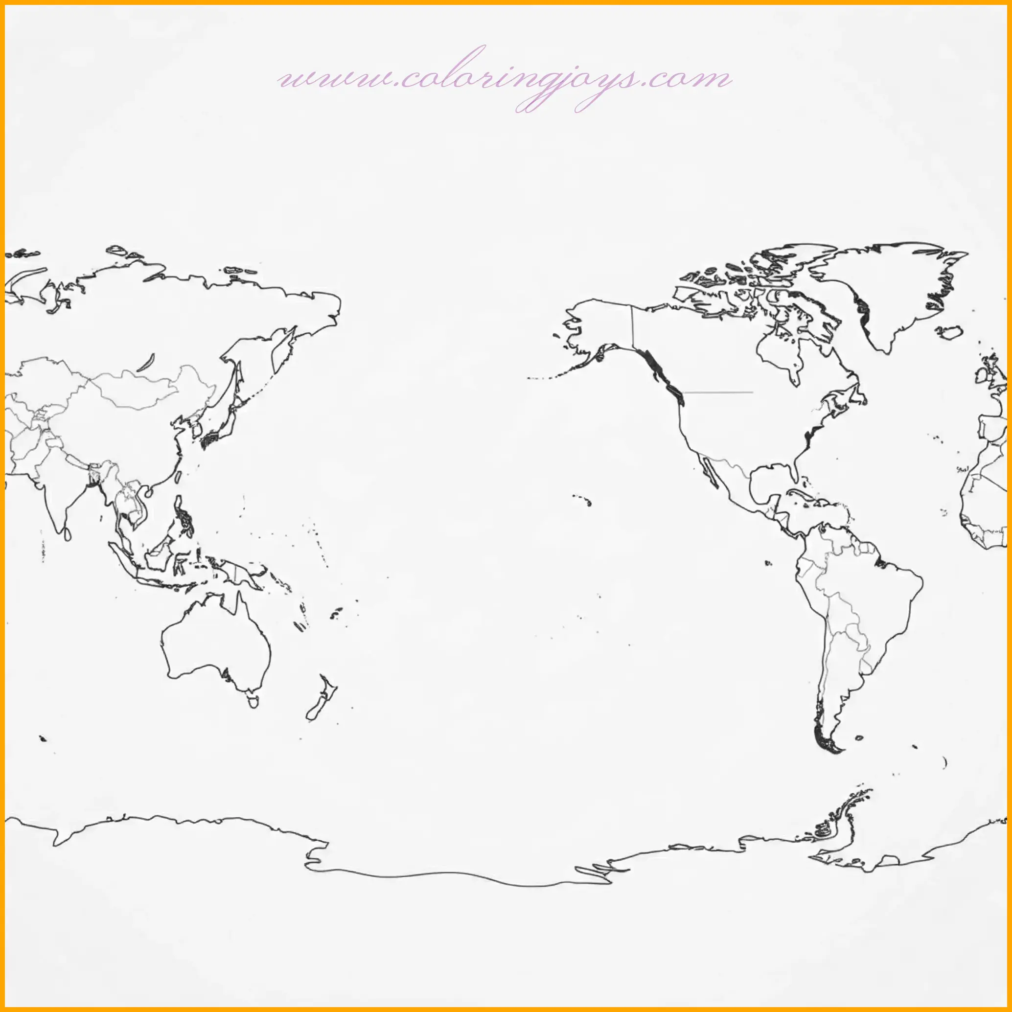
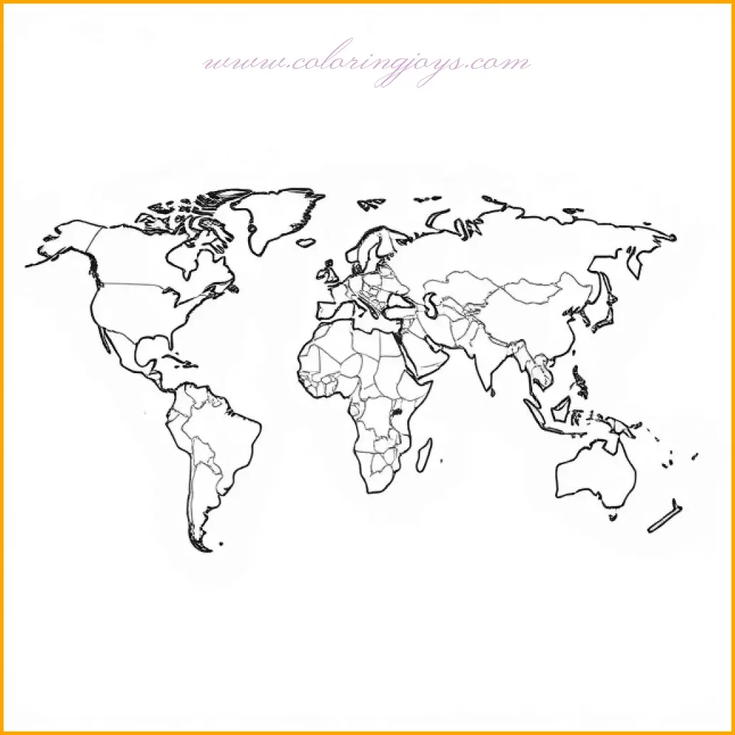
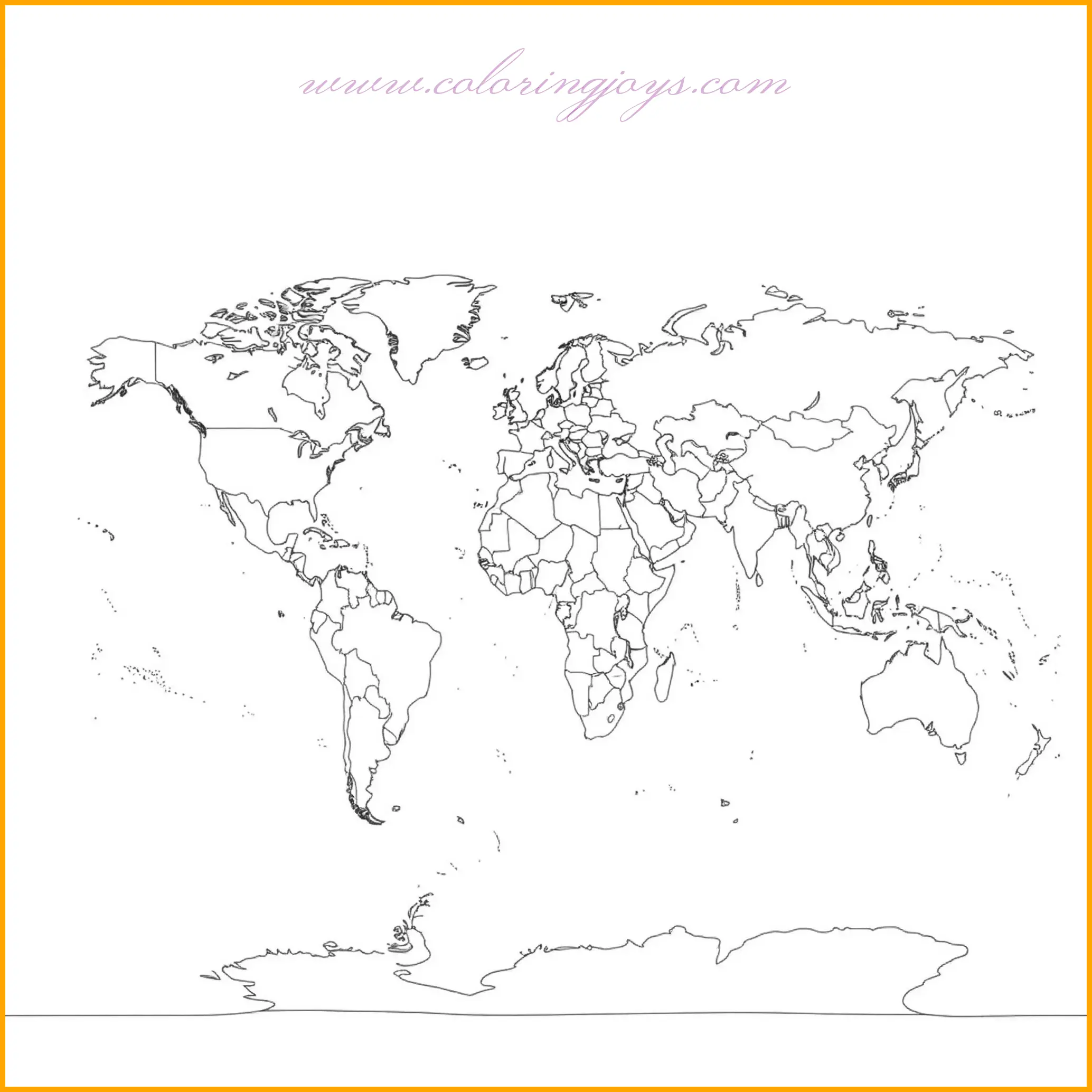
This map world coloring page highlights the African continent with its distinct borders and geographical features. The countries within Africa are outlined for detailed coloring. Use vibrant colors to represent different countries, with greens and yellows for lush areas, and browns for desert regions like the Sahara. For added creativity, label the countries and major landmarks such as Mount Kilimanjaro and the Nile River.This map world coloring page offers a blank canvas for labeling and coloring various regions. The simplified outlines make it easy for users to add their labels to continents, countries, or bodies of water. Choose soft pastel shades to color continents and oceans, and use bold colors for borders and labels. This page is perfect for educational activities or personalized map projects.This comprehensive map world coloring page showcases all the continents together in a single view. Each continent is separated by visible borders, offering ample space for vibrant coloring. Try using unique color palettes for each continent to create a visually appealing map. Don’t forget to shade the oceans in blue and highlight major geographic features like mountain ranges or rivers.This detailed map world coloring page focuses on Asia, the largest continent. It features outlines of countries and prominent landmarks for easy identification. Use a mix of earthy and bright tones to represent diverse terrains, from deserts in the Middle East to lush jungles in Southeast Asia. Add details like country names or cultural icons for a creative touch.This engaging map world coloring page features the continents of Europe and Asia side by side. Each country is carefully outlined, inviting detailed and creative coloring. Use green and yellow for Europe’s lush landscapes and a mix of earthy tones for Asia’s vast terrain. This map is ideal for learning about the interconnected regions of the two continents.This map world coloring page focuses on the continent of North America, highlighting the United States, Canada, Mexico, and smaller countries in Central America. Each country is outlined for precise coloring. Begin by using a variety of vibrant colors for each nation to make them stand out. Shades of green can represent the forested areas in Canada and the eastern U.S., while sandy tones work well for the deserts of Mexico and the southwestern U.S. Don’t forget to add blue hues for the Great Lakes and surrounding oceans. For added fun, label the countries, capital cities, and key landmarks like the Rocky Mountains and the Yucatan Peninsula. This map world coloring page showcases the countries of Africa in a highly detailed layout. Each country is clearly outlined, allowing for intricate coloring and exploration of Africa’s diverse regions. Use earthy tones like ochre and brown for desert areas such as the Sahara, while vibrant greens can depict the rainforests of Central Africa. Blue shades can be used to highlight water bodies like Lake Victoria and the Nile River. Take your creativity further by labeling countries, major cities, and famous natural landmarks such as the Serengeti or the Cape of Good Hope.This map world coloring page provides a global view with an emphasis on the oceans and their importance. Each continent is surrounded by outlined oceans, giving users a chance to color the vast water bodies. Use a variety of blue shades to depict the depth and movement of the oceans, from light blue for shallow areas to deeper hues for the open seas. Continent outlines can be shaded in subtle earth tones to contrast beautifully with the oceans. Label the Pacific, Atlantic, Indian, and Arctic Oceans for an educational and colorful masterpiece.This map world coloring page focuses on the outlines of the world’s coastlines, providing a simplified yet intriguing perspective. The page invites you to color the edges of the continents in shades of green and brown, representing the meeting point between land and sea. Add deep blues and turquoise to illustrate the adjacent waters. This page is perfect for learning about coastal geography or creating an artistic rendition of the Earth’s shorelines.This map world coloring page offers a minimalist take on the world, with continents represented by simplified shapes. Use bold, contrasting colors for each continent to create a striking and modern design. Lightly shade the oceans to frame the continents and bring out their vibrant colors. This map is great for younger learners or for creating a bright and engaging world map to display.This unique map world coloring page highlights the Arctic Circle and surrounding regions. The northern parts of North America, Europe, and Asia are prominently displayed, along with the icy Arctic Ocean. Use cool tones like white and light blue to represent the ice and snow, with deeper blues for the surrounding water. Earth tones can be applied to the continents for contrast. Label the Arctic Circle and key locations like Greenland, Siberia, and the northern tips of Canada and Scandinavia. This map is perfect for exploring the polar regions and learning about their unique features.This map world coloring page emphasizes the major mountain ranges across the globe, such as the Himalayas, Rockies, Andes, and Alps. Each range is clearly marked, offering an excellent opportunity to explore Earth’s diverse topography. Use shades of brown and gray to color the mountains, gradually blending into greens to represent nearby forested areas. Highlight peaks like Mount Everest or Mount Kilimanjaro with special attention. The oceans and plains surrounding the ranges can be shaded in calming blues and yellows to create contrast. This map is ideal for geography enthusiasts or anyone wanting to learn about Earth’s natural elevations while enjoying a creative coloring experience.This map world coloring page focuses on the vast Pacific Ocean and the continents it touches. Highlighted regions include the Americas, Asia, and Oceania, bordered by the world’s largest ocean. Use rich blues and teals to capture the Pacific’s expanse, and contrast with earthy tones for the surrounding continents. Don’t forget to mark and label iconic islands like Hawaii, Fiji, and the Philippines with vibrant colors to bring them to life. This coloring page combines creativity with a deep dive into the geography of the Pacific region.This classic map world coloring page provides a clear outline of all the continents, making it ideal for a clean and colorful project. Each continent can be colored in a unique shade, with borders between countries subtly marked for additional detailing. Use light blues for oceans to accentuate the bright and bold tones of the continents. Add labels for continents, countries, and major features like rivers or deserts to enhance its educational value. This page is great for classroom activities or personal learning projects.